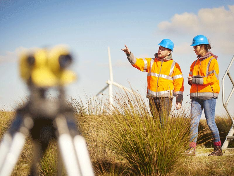
Precise data collection in the field requires hardware that can withstand the elements without compromising accuracy. Implementing a rugged pc in surveying and mapping provides the stability needed for high-precision GNSS tasks and GIS workflows in remote areas. Emdoor’s specialized mobile solutions are engineered to, Accurate positioning and fast data access are very important for outdoor surveying and mapping work. Emdoor’s products can perfectly solve this problem.
Empowering Field Data Collection with a Rugged PC in Surveying and Mapping

In surveying and mapping work, quick access to online data is very important. Our ruggedized notebook with 4G LTE/5G, so that your needs are no longer stuck, and always smooth.
Professionals involved in utility fieldwork spend a significant part of their time outdoors. The strong light makes it difficult to confirm the data on the display of a rugged tablet PC, which makes the work more difficult. Our solution is equipped with a 1000nit ultra-high-brightness display, allowing the data to be clear at a glance.

Our long battery life can last a full work shift in the field. Hot-swappable dual batteries to ensure continuous operation. Eliminate the trouble of data loss due to computer power failure. Greatly improve work efficiency.
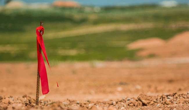
As a critical geographic and topographical data source, dedicated GPS is vital for surveying and mapping field operations. Emdoor solutions include a broad range of devices with GPS receivers that can perfectly handle this problem.
Ready to achieve centimeter-level accuracy in the most challenging terrains? Explore Emdoor’s full range of rugged pc in surveying and mapping and RTK tablets to find the ultimate tool for your GIS and mapping projects.